Olive Street Common

A neighborhood park in Fairfield community of Victoria, B.C., Olive Street Common has a tire swing and picnic tables that is shaded by a large cedar tree. This wonderful green space provides a community space for children and families. Moss Rock Park is north along Olive Street and east along May street about a block.

Geographic coordinates N48° 24′ 38” W123° 20′ 55″

Olive Street Common can be reached from Blanchard Street. Turn east onto Fairfield Road then south on Moss Street. Continue to May street where you turn right. Take the next left onto Olive Street. The park is partway along the road on the right between homes 179 and Olive Street. There is limited roadside parking. City buses travel along Fairfield Road.

Mount St. Mary Hospital Green Space

This post is updated here.

http://walksinyourbackyard.com/2019/04/09/mount-st-mary-hospital-green-space

Cook Street Playground – Beacon Hill Park

Two sets of play structures both with slides, platforms with various means to climb up form the nucleus of the Cook Street Playground. Yet it is the dinosaur with its nest of eggs that attracts many children. Located on the eastern border of Beacon Hill Park, this park is just steps away from the Cook Street Village and Clover Point Park seashore. The well designed play area is just under a hectare within a chain linked fence. In addition to the play structures there are four swings, a cable ride, cable nets to climb and natural play areas composed of logs. This area is often very busy as there is also an outdoor fitness circuit has nine aerobic and strength training sites including elliptical machines and stationary bicycles. Garry oak and Douglas fir trees shade the play area, benches and picnic tables. Wander through the area to enjoy some beautiful garden beds. Across Nursery Road, which leads to the plant nursery for the City of Victoria Park, are three tennis courts and a double set of private lawn bowling greens. These greens were once segregated by gender but now form grounds of Victoria Lawn Bowling Club that was established in nineteen o-nine. Take a few minutes to explore this park’s one hundred and twenty meters of paved trails that lead toward the woodchip and gravel pathways of Beacon Hill Park. Public toilets are found across Nursery Road and near the junction of Dallas Road and Cook Street. Clover Point Park, Moss Rock Park and Chapman Park are nearby.

Geographic coordinates N48° 24′ 42” W123° 21′ 29″

Cook Street Playground can be reached from Blanchard Street. Turn east onto Dallas Road and follow along to Cook Street. Turn right onto Cook Street and look for the park located on left near Park Boulevard. There is limited roadside parking along Cook Street but there is small parking lot off Nursery road off of Park Boulevard. City buses travel along Fairfield Road and Cook Street from downtown Victoria.

Chapman Park


chapman park  6Chapman Park lies near the Cook Street Village neighborhood of the City of Victoria, B.C. This park is a 0.26 hectare grass covered area with a ship-shaped play structure. Located only about a block east of Cook Street Village, its playground is designed for those with a sea-imagination. A slide extends down from the platform that is reached by stairs and ladders from the wood chip covered ground. Garry oak, London plane, black locust and alder trees provide amply shade for the playground, picnic table and benches. There is just enough lawn to play a game of bocce ball or catch. This quiet parkland is bordered by a sidewalk along both Linden Avenue and Chapman Street. The northern corner perimeter is formed by the chain-link and wooden fences from the two bordering properties. This park, and perhaps the two blocks that make Chapman Street, may have been named, in the early nineteen hundreds, after either of the Victorian residents Howard J. Chapman, a photographer, or Dr. John Chapman Davie, a physician and surgeon. Cook Street Playground – Beacon Hill, Clover Point Park, Moss Rock Park and Sir James Douglas Elementary School Green Space are nearby.

Geographic coordinates N48° 24′ 46” W123° 21′ 10″

Chapman Park can be reached from Blanchard Street. Turn east onto Fairfield Road and follow along to Linden Street. Turn right onto Linden and look for the park located on at the junction with Chapman Street. There is limited roadside parking. City buses travel along Fairfield Road and Cook Street from downtown Victoria.

Clover Point Park

Clover Point Park is a very popular waterfront park that projects into the Strait of Juan de Fuca of the Salish Sea near Ross Bay. Named for the reddish-purple flowers of springbank clover (Trifolium wormskjoldii) in eighteen forty two, the point of land that forms Clover Point was the arrival point for Sir James Douglas. This four hectare park extends from Cook Street along the waterfront to Memorial Crescent within the City of Victoria, B.C. The shoreline is mostly rocky, even at low tides. A lower low tides, a small sand and cobble beach is exposed below the cliffs on the southwestern side of the park. Access to this beach is from the pathway on the western side of the point.


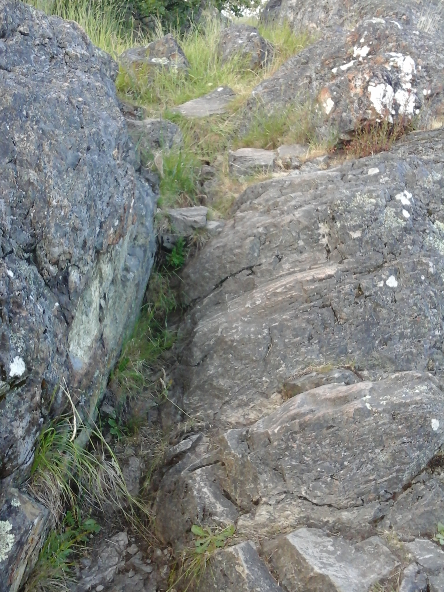
There are two main walkways along the shore within this park. The paved ridge pathway is very popular with hikers, walkers and dog walkers. It is always amazing to see the different breeds of dogs. The grass covered area between the pathway and Dallas Road is frequented by paragliders, kite flyers and, occasionally, elementary school children running their cross country races. The bluff has a split cedar fence to limit access the cliff. The bluff is composed of glacial sediments that erode easily. The rocky beach trail is best at low tides and is frequently used. The beach route continues to the staircase, designed using the WWII turret, up to the Dallas Road and Cook Street junction.


Clover Point promontory has a paved half a kilometer circle drive bordered by a parking area that surrounds a large grass covered field. This site hosts a pancake breakfast during the start of the Swiftsure Yacht Race in May. An outdoor sculpture, Millennium Peace by sculpturist Maarten Schaddlee, is found near the junction of the park access and Dallas Road. Curved into Vancouver Island Marble is was placed in the year two thousand on Earth Day.


Despite the sewage pumping station building on its eastern side, this park is a great place to fly kites, walk your dog, walk with friends or just enjoy the panoramic view of the Strait of Juan de Fuca of the Salish Sea with the background of the Olympic Mountains in Washington State, USA. On windy days wind surfers take to the waves in Ross Bay and Finalyson Point. Beacon Hill Park borders on clover point to the west and Ross Bay Walkway extends to the west.

Geographic coordinates N48° 24′ 20” W123° 20′ 60″

Clover Point Park can be reached from Blanchard Street. Stay on Blanchard until you reach Dallas Road. Turn left and follow along until the promontory of Clover Point can be accessed. City buses travel along Fairfield Road and other streets in the Fairfield area near this park.

Bushby Park

Bushby Park Bushby Park 5 Bushby Park 6

Shaded by some large London plane and Garry oak trees, Bushby Park has a toddler friendly playground on a sand base. This green triangular oasis is like a kids’ backyard garden in this busy Fairfield neighborhood of Victoria, B.C. This park gets nicknamed Ross Bay Park since it only a block inland, along Eberts Street, from Ross Bay Seawalk and Clover Point Park. The paired toddler swings and big kids swings, a long tall slide, teeter totter are complemented by a roundabout from the playground equipment. A large grassy area covers the rest of the 0.2 hectare parkland and has just enough open space for a tossing a Frisbee or playing bocce ball. Moss Rock Park (Fairfield Hill Park) is the large hill further north along Eberts Street where there is a discrete trail that leads up the rocky slope to this park.  Bushby Park have been named to honor Arthur Thomas Bushby who in eighteen fifty eight became the private secretary for Judge Matthew Baille Begbie. Memorial Crescent Green Space, Ross Bay Cemetery and Clover Point Park are nearby.

Geographic coordinates N48° 24′ 33” W123° 20′ 47″

Bushby Park can be reached from Blanchard Street. Turn east onto Dallas Road and follow along past Clover Point to Eberts Street. Turn left off of Dallas Road onto Eberts Street. The park is at the junction of Bushby Street and Eberts Street. There is limited roadside parking in this compact neighborhood of Fairfield in Victoria, B.C. City buses travel along Fairfield Road from downtown Victoria.

Franklin Terrace Green Space

Franklin TerraceTwo sets of five stairs each lead down from the bend of Windermere Place to the sidewalk along Franklin Terrace. Shaded by cedar hedges, arbutus and Garry oak trees this thirty five meter roughly paved pathway makes a great shortcut from Moss Street to Moss Rock Park in the Fairfield community of Victoria, B.C. Moss Rocks Park, Brooke Street Park, Porter Park, SJD Elementary School Green Space, Ross Bay Cemetery, Memorial Crescent Green Space and Clover Point are nearby.


Geographic coordinates N48° 25′ 49” W123° 20′ 52″


Franklin Terrace Green Space can be reached from Blanchard Street. Turn east on Fairfield Road, south on Moss Street and east onto Franklin Terrace. The green space is between 1329 and 1335 Franklin Terrace at the end of the street. There is limited roadside parking in this Fairfield neighborhood even near Moss Rocks Park. City buses travel along Fairfield Road from downtown Victoria.

Moss Rock Park

Moss Rock Park view Moss Rock Park rocks

Also called Fairfield Hill Park, Moss Rock Park has a great view over Clover Point Park and across the Strait of Juan de Fuca toward the Olympic Mountains of Washington State, USA. Take a turn at one of the two benches with views of the City of Victoria and the Salish Sea in this two hectare parkland. This is a splendid natural rocky area to have a picnic and to scrabble over rocks to the summit at about 41 meters. In the spring, the wildflowers like camas, nootka rose and honeysuckle are spectacular. Garry oak and arbutus trees manage to grow in a few of the few level areas in the park. There is a steep rock route from May Street to the lower bench near the hill top. The park borders along private property, Masters Road and May Street. From May Street, via a rough trail near 204 Memorial Crescent, the eastern side of the park can be accessed where the summit is about 39 meters. The view from this part of the parkland is over Ross Bay Cemetery. Bushby Park, Sir James Douglas Elementary School Green Space, Porter Park and Clover Point Park are nearby.

Geographic coordinates N48° 24′ 45” W123° 20′ 465″

Moss Rock Park can be reached from Blanchard Street. Turn east onto Fairfield Road and follow along to Masters Street. Turn right onto Masters Street and drive up the street to near the end where there is a trail to the park. There is very limited roadside parking on Masters Street but parking might be available along May Street. City buses travel along Fairfield Road from downtown Victoria.