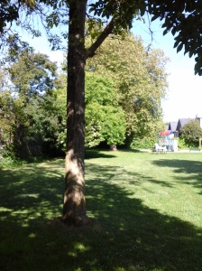
 Chapman Park lies near the Cook Street Village neighborhood of the City of Victoria, B.C. This park is a 0.26 hectare grass covered area with a ship-shaped play structure. Located only about a block east of Cook Street Village, its playground is designed for those with a sea-imagination. A slide extends down from the platform that is reached by stairs and ladders from the wood chip covered ground. Garry oak, London plane, black locust and alder trees provide amply shade for the playground, picnic table and benches. There is just enough lawn to play a game of bocce ball or catch. This quiet parkland is bordered by a sidewalk along both Linden Avenue and Chapman Street. The northern corner perimeter is formed by the chain-link and wooden fences from the two bordering properties. This park, and perhaps the two blocks that make Chapman Street, may have been named, in the early nineteen hundreds, after either of the Victorian residents Howard J. Chapman, a photographer, or Dr. John Chapman Davie, a physician and surgeon. Cook Street Playground – Beacon Hill, Clover Point Park, Moss Rock Park and Sir James Douglas Elementary School Green Space are nearby.
Geographic coordinates N48° 24′ 46” W123° 21′ 10″
Chapman Park can be reached from Blanchard Street. Turn east onto Fairfield Road and follow along to Linden Street. Turn right onto Linden and look for the park located on at the junction with Chapman Street. There is limited roadside parking. City buses travel along Fairfield Road and Cook Street from downtown Victoria.

Wonderful resource.