Atkins Chilco Pathway

View Royal Tunnel near Atkin Road 9 View Royal Tunnel near Atkin Road 2

The Atkins Chilco Pathway is a pedestrian walkway under the Via Rail track in View Royal, B.C. Decorated with eleaborate images, the the nineteen-sixteen tunnel connects Atkins Road with Chilco Road near Thetis Vale Green Space. Chilco Park, Duffus Trail Park, Edwards Park, Robin Hill Park, Thetis Lake Regional Park, Atkins Road Green Space, the Galloping Goose Trail and Mill Hill Regional Park are nearby.

Geographical location N48° 27’ 31” W123° 28’

Atkins Chilco Pathway can be accessed from the Trans Canada Highway, Hwy1. Exit onto the Island Highway and stay to the left to merge with traffic going under the freeway and railway overpasses. Turn right onto Six Mile Road then left onto Chilco Road. Look for the first pedestrian crossing on Chilco Road to find this outdoor art deco. City buses travel along Atkins Road.

Kelvin Grove Park, View Royal, B.C.

Kelvin Grove 3 Kelvin Grove 5

Kelvin Grove Park is a one hectare forested area along Mill Stream in View Royal, B.C. A sixty meter long trail from Atkins Road leads to a wooden platform that provides view of the ravine for Mill Stream. Mill Stream, or Millstream Creek as it is often called, is the main waterway in a watershed that starts in the Gowlland Tod range of the Highlands and includes seven lakes and numerous ponds. A visit to Kelvin Grove Park provides views of cedar trees and sword ferns along the slopes of the ravine. The wetlands near the stream have skunk cabbage and other riparian plants. There are no formal trails in this nature park and the viewing platform is along the steepest part of the parkland. Wilfert Park is on the south side of Mill Stream. Duffus Trail Park, the Galloping Goose Trail, Parson’s Access Park, Mill Cove Park, Burchill Park, Mill Hill Regional Park, Thetis Lake Regional Park are nearby.

Geographical location N48° 27’ 10” W123° 28’ 5”

Kelvin Grove Park can be accessed from the Trans Canada Highway, Hwy1. Exit onto the Island Highway and stay to the left to merge with traffic going under the freeway and railway overpasses. Turn right onto Six Mile Road and then left onto Atkins Road. The park is on left near Creekside Glen townhomes at 199 Atkins Road. There is limited roadside parking along Atkin Road although city buses travel along this roadway.

Duffus Trail Park

Duffus Trail Mill Stream view point  8 Duffus Trail 1 Mill Stream view point

Duffus Trail is along the northwest side of the floodplain of Mill Stream in View Royal, B.C. The gravel and grass trail is also bordered by residential homes and a split-cedar fence. The trail from the road is along a twenty meter long concrete pathway between two homes. Then take the four flights of wooden stairs: two with ten steps and two with fourteen steps to the shoreline and pathway. The three hundred meter long gravel and grass pathway follows the shoreline of muddy tidal estuary area of Mill Stream. Mill Stream, or Millstream Creek as it is often called, is the main waterway in a watershed that starts in the Gowlland Tod range of the Highlands and includes seven lakes and numerous ponds. A visit to Duffus Trail Park allows you to enjoy views of cedar trees and sword ferns along the southern slopes of the stream. The wetlands near the stream are bordered by several plants like scotch broom and alder trees. Maureen Duffus is an author known for local history of Southern Vancouver Island and raised her family in the area. There are benches along the walkway which makes it a good place to observe local and migratory water birds such as Canada geese, widgeons, gadwell, herons, cormorants, loons, mallards, mergansers and gulls. Burchill Park and Parson’s Access Park is nearby as it is Mill Cove Park and the Galloping Goose Trail.

Geographical location N48° 27’ 18” W123° 27’ 55”

Duffus Trail Park can be accessed from the Trans Canada Highway, Hwy1. Exit onto the Old Island Highway and stay to the left to merge with traffic going under the freeway and railway overpasses. Turn onto Six Mile Road and continue to Atkin Road. Turn left onto Atkin Road then left again onto Anya Lane, marked as a private road. The lane is narrow and winds through the private homes and past the Pollock Farm to reach Anya Court. The park access is between homes 302 and 305. There is limited roadside parking along Anya Court or Anya Lane. City buses travel along the Atkin Road.

Nursery Hill Park

Nursery Hill Park white fawn lily March 2014

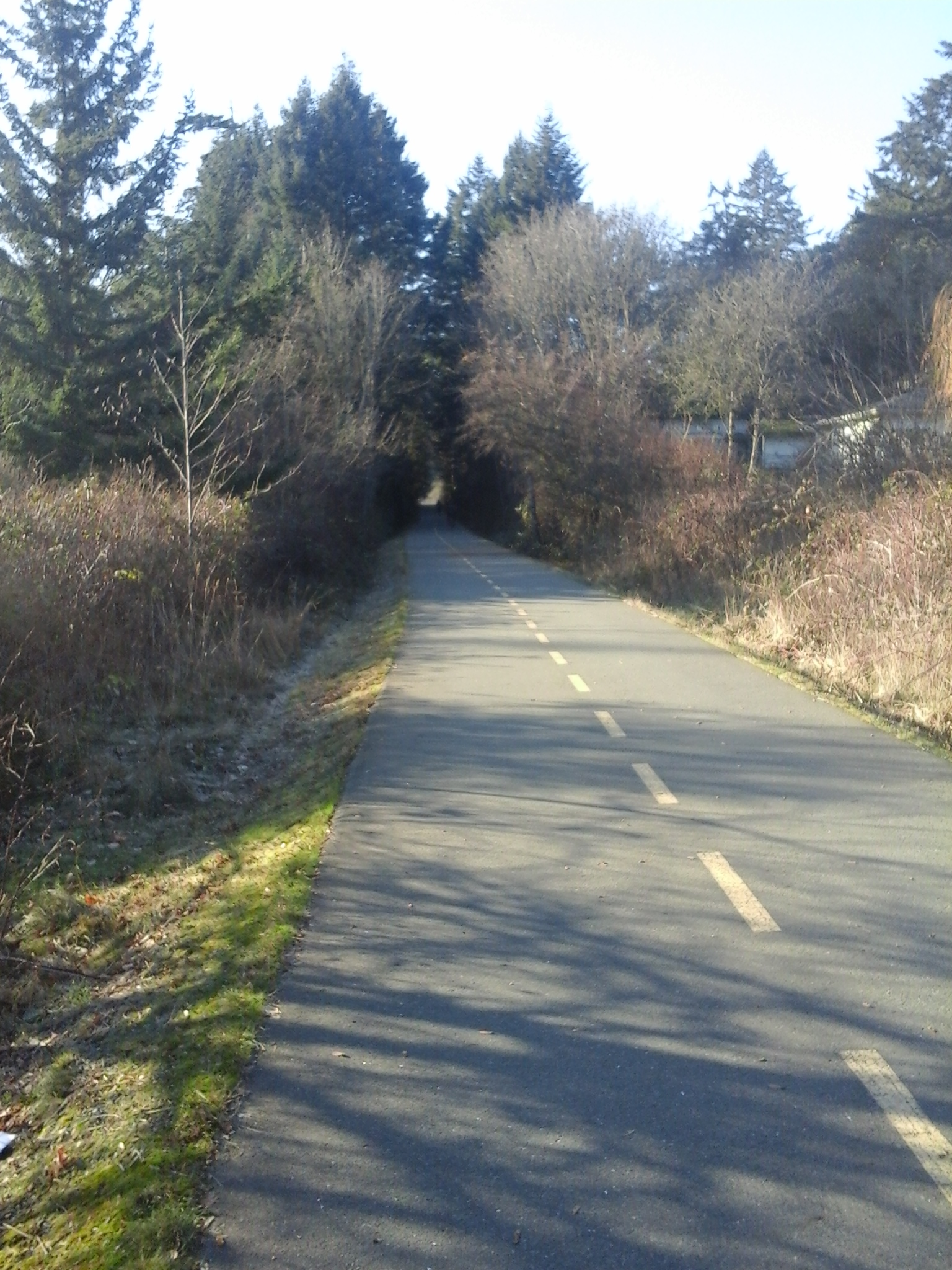
Nursery Hill Park is on fifty-five meter high hill in View Royal, B.C. At about four and half hectares, this park has many Douglas fir trees with a few Garry oak, big leaf maple and arbutus trees on its slopes. The canopy keeps the Oregon grape and snow berry bushes fairly small. In a few areas broom plants grow well. A fine gravel trail meanders through the park around the small rocky outcrops that are covered with lichen, ferns and mosses. Spring time flowers, like the white fawn lily (Erythronium oregonum) are seen along the two hundred meters long trail. The park borders on the Via Rail track to the south and residential homes to the east and west. Despite the noise from the traffic on the Trans Canada Highway that borders the north side of the parkland and the signs that state the access route is a private roadway, this park is a wonderful place to explore in your backyard. Parson’s Bridge Park, Burchill Park, Mellor Park, Garry Oak Meadows Park, Jalan Park, Atkin Road Green Space, the Galloping Goose Trail and Trans Canada Trail as well as Thetis Lake Park are nearby. The park is part of Nursery Hill Trail Loop described by the Town of View Royal.

Geographical location N48° 27’ 35” W123° 27’ 36”

Nursery Hill Park can be accessed from the Trans Canada Highway, Hwy1. Exit onto the Old Island Highway and stay to the left to merge with traffic going under the freeway and railway overpasses. Turn onto Six Mile Road and look for the Atkins Road Green Space to park as there is limited parking along Nursery Hill Road or Six Mile Road. Nursery Hill Park is access along a rough trial from the corner where Nursery Hill Road curves to the left and from the cul-de-sac between homes 445 and 444. City buses travel along the Six Mile Road and Atkins Road.

Atkins Road Green Space

GGT TCT near Atkins Road trail head

Atkins Road Green Space is a small area useful for parking when the parking lot at Thetis Lake Regional Park is full. It is also a site to access the Galloping Goose Trail although the main trail head with water and washrooms is five hundred meters east along Atkins Road. It is even an excellent space to explore on its own. Immediately to the north of this green space is the Via Railway Track. A couple of tall pine trees, Himalayan blackberries and other small shrubs fill the area. Parson’s Bridge Park, Jalan Park, Parson’s Access Park, Mellor Park, Nursery Hill Park, Garry Oak Meadow Park, Burchill Park, Chilco Park, the Galloping Goose Trail and Trans Canada Trail as well as Thetis Lake Park are nearby.

Geographical location N48° 27’ 31” W123° 27’ 50”

Atkins Road Green Space can be accessed from the Trans Canada Highway, Hwy1. Exit onto the Island Highway and stay to the left to merge with traffic going under the freeway and railway overpasses. Turn onto Six Mile Road and continue along the road just under the bridge overpass for the Galloping Goose Trail. Turn right onto Atkins Road and look for the green space to the left. There is no roadside parking along Six Mile Road. City buses travel along the Island Highway and Atkin Road (on the west side).

Burchill Park

burchill park view royal

A landscaped park with a rough trail and a steep yet small ravine, Burchill Park is in View Royal, B.C. Part of the park lies parallel to the Galloping Goose Trail near the junction with Atkins Avenue and residential homes. The other part is formed by the slopes of the ravine that leads to Mill Stream. The footpath is one hundred and fifty-five meters long and is on a relatively flat grass covered area with a few arbutus and fir trees. There are plenty of blackberry bushes and other small shrubs along the slope of the ravine. This four thousand square meter park is best accessed from the junction of Parson’s Road and Atkin’s Road. Parson’s Bridge Park, Jalan Park, Parson’s Access Park, Mellor Park, Nursery Hill Park, Garry Oak Meadow Park, Atkin Road Green Space, the Galloping Goose Trail and Trans Canada Trail as well as Thetis Lake Park are nearby.

Geographical location N48° 27’ 27” W123° 27’ 57”

Burchill Park can be accessed from the Trans Canada Highway, Hwy1. Exit onto the Old Island Highway and stay to the left to merge with traffic going under the freeway and railway overpasses. Continue across Parson’s Bridge and take the next right onto Wilfert Road. This is not a through road and can also be access from Nob Hill Road. The park is on the right near the end of the road. There is limited roadside parking along Wilfert Road. City buses travel along the Island Highway.