This post is updated here.
McCallum Park
Reply

This post is updated here.


Selwyn Road Park is a small grass covered area in the Thetis Heights neighborhood of Langford, B.C. There is a short gravel pathway that connects with Selwyn Trail, a gravel and dirt pathway along a ridge above Mill Stream. Mill Stream, or Millstream Creek as it is often called, is the main waterway in a watershed that starts in the Gowlland Tod range of the Highlands and includes seven lakes and numerous ponds. There is about five kilometers of Mill Stream that lie within the City of Langford. Selwyn Road Park has London Plane trees along the sidewalk and snowberry and blackberry bushes near the trail. McCallum Road Green Space is nearby.
Geographic location N48° 27’46” W123°29’40”
Selwyn Road Park can be reached from the Trans Canada Highway also called Hwy1. Turn at Millstream Road and continue to the log house pub and turn right onto Treanor Avenue and turn right onto Selwyn Road. There is parking along roadway near the park which lies between3387 and 2393. City buses travel along Treanor Avenue.
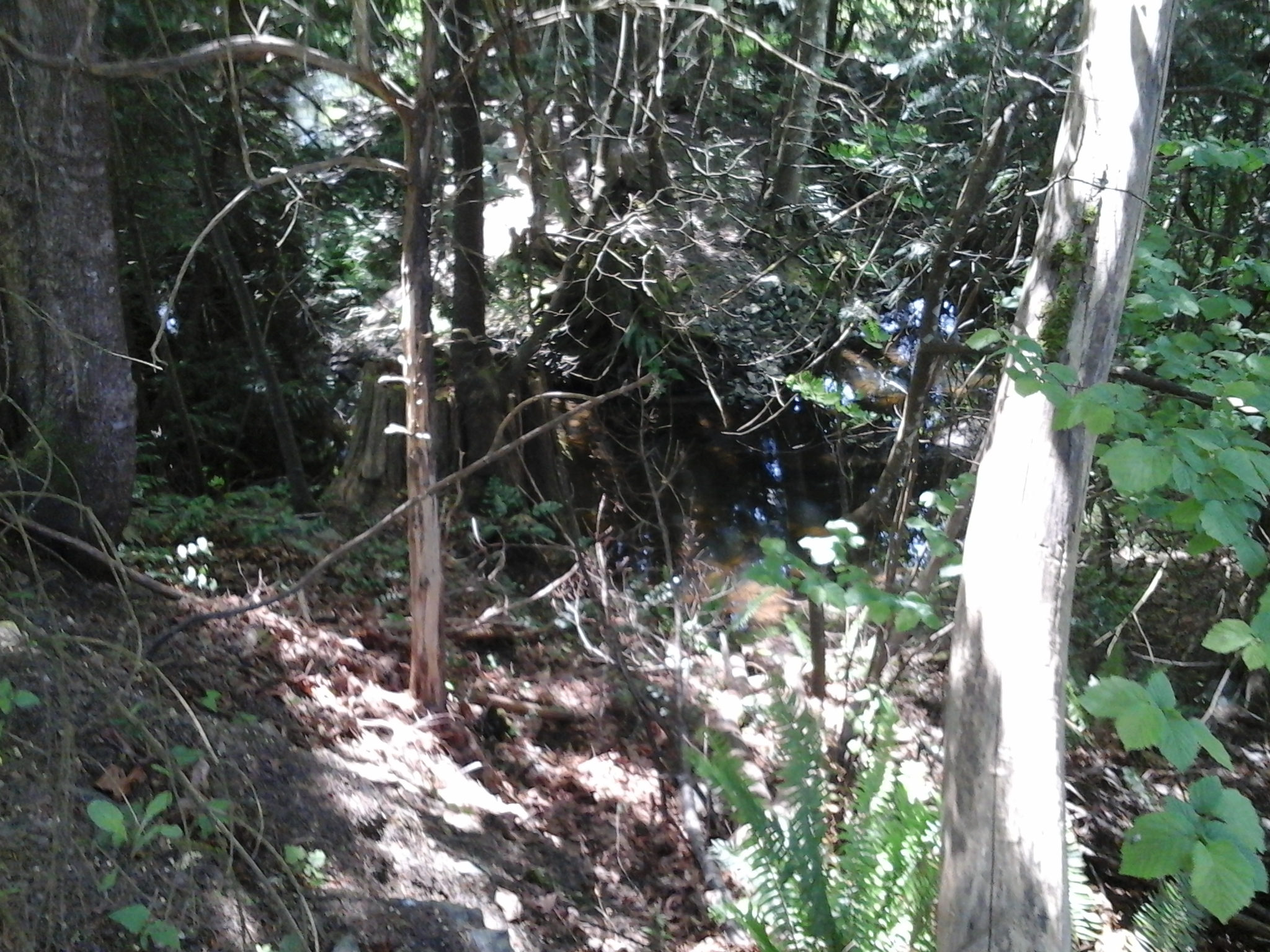
Bellamy Park TCH is near the Trans Canada Highway at the south end of Bellamy Road. This nature area is along steep slopes of the ravine for Mill Stream. Mill Stream, or Millstream Creek as it is often called, is the main waterway in a watershed that starts in the Gowlland Tod range of the Highlands and includes seven lakes and numerous ponds. There are about five kilometers of Mill Stream within the Langford City boundary most of which has a riparian buffer to protect the water quality of the stream. Mill Stream flows in to Esquimalt Harbour near Price Bay. As a second growth forest area there are Douglas fir, big leaf maple and cedar trees in the park. Tacon, Sunkist, Hansen, Gourman Parks are nearby. Avery Place Trail and Nicki Place Trail to Thetis Lake Park are also nearby. Selwyn Trail lies on the opposite bank of Mill Stream.
Geographic location N48° 27’39” W123°29’27”
Bellamy Park TCH can be reached from the Trans Canada Highway also called Hwy1. Turn at Millstream Road and continue to the log house pub and turn right onto Treanor Avenue and turn left on to Bellamy Road. Continue to the end of the road. There is limited parking near the park. City buses travel along Bellamy Road and Treanor Road.
Phelps Road Green Space connects to Millstream Creek Trail and Goldie Park. This forty meter long gravel pathway from Phelps Road has a laurel tree hedge along the south side. The pathway is then lined by wooden fences with several tall cedar hedge trees providing shade. Once past the homes the trail widens slightly to connect with the trails along Mill Stream. Mill Stream, or Millstream Creek as it is often called, is the main waterway in a watershed that starts in the Gowlland Tod range of the Highlands and includes seven lakes and numerous ponds. There is about five kilometers of Mill Stream that lie within the City of Langford. Gold Park, Goldie Trail, Millstream Creek Trail, Millstream Creek Park, Ecole Millstream Elementary School Green Space and Thetis Lake Park are nearby.
Geographic location N48° 28’3” W123°29’46”
Phelps Road Green Space can be reached from the Trans Canada Highway also called Hwy1. Turn at Millstream Road and turn right onto Treanor Avenue just before the log house pub. Make a left turn on to Bellamy Road and another left onto Phelps Road. The trail access is between homes 630 and 638 at the end of the road. There is limited parking along Phelps Road. City buses travel along Treanor Avenue and Bellamy Road.
This post is updated here.
This post is updated here.
This post is updated here.
