Florence Lake Strachan Trail

Florence Lake Strachan Trail gravel Florence Lake Strachan Trail pier

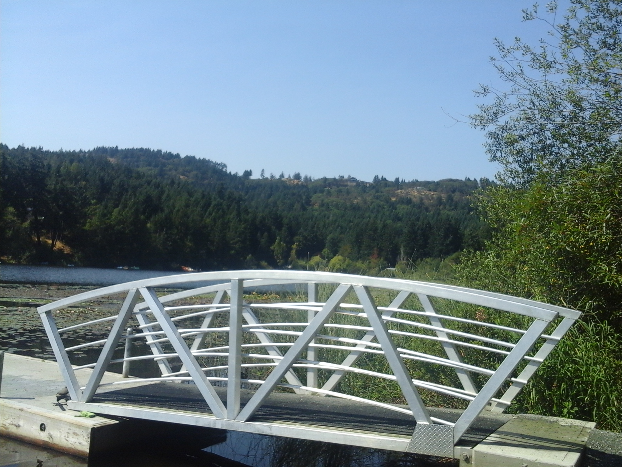
Florence Lake Strachan Trail is an one and half kilometer trail that follows the eastern shore of Florence Lake in Langford, B.C. Florence Lake is a shallow glacial kettle lake that lies on the slopes of Skirt Mountain. There are several view points from along the boardwalk. This section is shades by some large western red cedar and Douglas fir trees. The board walk becomes to a gravel trail and there are a few places to access the water for swimming and wading. The boat launch, for small personal watercraft like kayaks, paddle boards and canoes, has a pier beside it. It is a short stroll from the main trail. There are several benches along the route for rest stops.The gravel pathway traverses through the wetlands on the southeastern end of the lake. Alder dominate the shrubs in this area. A board walk connects the gravel trail to Savory Road along the southwestern side of the lake. The trail parallels Florence Lake Road, Brock Avenue and Springboard Road. The north end of the trail is at (geographic location and the southern end of the trail is at Savory Park.

Geographic location for Florence Lake Park North N48° 27’41” W123°30’45”

Florence Lake Strachan Trail can be reached from the Trans Canada Highway also called Hwy1. Turn at McCallum Road/Spencer Road exit and continue along McCallum Road to reach Brock and Springboard roads. Follow the curve to the right to stay on McCallum Road and then take the curve to the left to turn onto Florence Lake Road. Stay on Florence Lake Road and look for a small parking area, on the left, past the junction with Setchfield Avenue. There is three parking sites at this park and limited roadside parking. City buses travel along Setchfield Avenue.

Florence Lake Pier

The pier and viewing dock at Florence Lake is a great place to explore nature and the outdoors. This park is found in the Florence Lake neighborhood of Langford, B.C. The pier and view dock are used by fishers and swimmers who enjoy the warm waters of this shallow lake. A small boat launch area is found beside the dock that is used by kayakers, paddle boarders and canoeists. Florence Lake is a shallow glacial kettle lake with a surface area of about eight hectares and average depth about two meters. There is one seasonal tributary, Florence Lake Creek North, providing water flow into the lake from the slopes of Skirt Mountain which lies to the northwest. Florence Lake Creek South drains from the south end of the lake and flows through a series of culverts, mostly under the Trans Canada Highway, until it reaches Mill Stream. The lake had been stocked with rainbow trout for several decades until the water quality was determined to limit fish survival. Florence Lake Park North is a couple of hundred meters north while Strachan Trail is the pathway along the shore. Strachan Trail lies along the eastern shore of Florence Lake and is about a three kilometer return stroll over flat terrain.

Geographic location N48° 27’30” W123°30’39”

Florence Lake Pier and Viewing Dock can be reached from the Trans Canada Highway also called Hwy1. Turn at McCallum Road/Spencer Road exit and continue along McCallum Road to reach Florence Lake Road. Stay on Florence Lake Road and look for a small parking area just past the junction with Shaw Avenue. There is three parking sites at this park and limited roadside parking and it is short stroll to the viewing dock and pier.

Florence Lake Park North

Florence Lake North Florence Lake North view

A sixty meter long boardwalk is the focal point for Florence Lake Park North. This park is found in the Florence Lake neighborhood of Langford, B.C. Florence Lake is a shallow glacial kettle lake with a surface area of about eight hectares and average depth about two meters. There is one seasonal tributary, Florence Lake Creek North, providing water flow into the lake from the slopes of Skirt Mountain which lies to the northwest. Florence Lake Creek South drains from the south end of the lake and flows through a series of culverts, mostly under the Trans Canada Highway, until it reaches Mill Stream. The lake had been stocked with rainbow trout for several decades until the water quality was determined to limit fish survival. This park is marks the north eastern end of the walk along the shore of Florence Lake. Strachan Trail, along Florence Lake, is about a three kilometer return stroll over flat terrain. This is good place to enjoy the views the water fowl and flora on Southern Vancouver Island, B.C.

Geographic location N48° 27’41” W123°30’45”

Florence Lake Park North can be reached from the Trans Canada Highway also called Hwy1. Turn at McCallum Road/Spencer Road exit and continue along McCallum Road to reach Brock and Springboard roads. Follow the curve to the right to stay on McCallum Road and then take the curve to the left to turn onto Florence Lake Road. Stay on Florence Lake Road and look for a small parking area, on the left, past the junction with Setchfield Avenue. There are three parking sites at this park. City buses travel along Setchfield Avenue.

Deep Cove Road Green Spaces

Surrounded by private residential homes and moored boats, the Deep Cove Road Green Space starts at the shoreline of the Salish Sea and extends to a pathway through the forest. The first part of the green space is leads to the twenty meter long Blaauw Pier which is right beside the Deep Cove Marina and facilities. Blaauw Pier is a North Saanich heritage site. Its creation, by Bill Blaauw, nearly 100 years ago has been retained during reconstruction over the years. The pilings are cross braced and heavy planks for the tread way.  This pier is good platform for watching summertime sunsets. The shore side near the marina provides a place to view waters of Saanich Inlet while the wharves may be useful to access the waters for SCUBA diving and kayaking, with permission. Enjoy the views of Mount Tuam on Salt Spring Island and the waters of the Deep Cove and the Salish Sea. This is a great  place to start a walk around the neighborhood of Deep Cove in North Saanich.

The second section of Deep Cove Road Green Space is reached by walking past the mailboxes beside the rural Deep Cove Road to the trail that connects to Cromar Road. This one hundred meter long trail is just a few meters east of Denham Till Park, a lovely forested parkland. The trail is bordered by Western red cedar and Douglas-fir trees with

Geographic coordinates  N48° 40′ 44″ W123° 28′ 41″ to near Blaauw Pier

You can get to Deep Cove Road Green Space from Pat Bay Highway.  Before you reach ferry terminal follow the signs that lead to McDonald Park – Wain Road.  Stay to the right as you exit the highway and curve up to cross over the overpass. At the intersection turn left onto Wain Road.  Continue on Wain Road past West Saanich Road until you reach Deep Cove Road. Turn right and look marina and facilities. There is limited roadside parking and the marina parking area is restricted.