Toth Park

Toth Park

Toth Park is in the Mill Hill neighborhood of Langford, B.C. This nature park has a rocky Garry oak meadow with a moss and lichen covered footpath under the branches of the small oak trees. This one tenth of a hectare park is surrounded by the fences of neighborhood homes in this quiet area. Cedarvale Park is nearby and makes for a nice walk along Strandlund Avenue then onto the trails in Selwyn Cedarvale Green Space.

Geographic location N48° 27’19” W123° 29’ 25”

Toth Park can be reached from the Trans Canada Highway also called Hwy1. Turn at Veteran Memorial Parkway/Millstream Road and turn south to head toward downtown Langford. Take the first left onto Strandlund Avenue and continue to the left to stay on Strandlund Avenue. At the junction with Duncan Place turn left. Take the next left onto Toth Place. Look for the footpath and parkland on the right at the sharp curve in the road There is limited roadside parking.

Mill Hill Regional Park

Mill Hill Thetis Lake Calypso Trail 5 Mill Hill Thetis Lake Calypso Trail 20

Mill Hill stands two hundred and two meters above sea level and lies within the parkland called Mill Hill Regional Park in View Royal, B.C. As a regional park since nineteen eighty, this park is kept by the Capital Regional District which has a large fenced yard with several maintenance buildings within the parkland. The main parking area and trails are in Langford, B.C., where the partially paved trail (an old fire road), called Auburn Trail, leads to the top of the hill. There are toilets and picnic tables near this parking area. The Auburn Trail skirts the south and western slopes. The east side of the park is within View Royal and is bordered by Edwards Park and several private properties. This northeastern slope of Mill Hill is accessed using Calypso Trail. The Calypso Trail, about two kilometer trail long, is a rough pathway along Hwy1 and becomes a woodland trail as it climbs to the summit to connect with Auburn Trail. Douglas fir, arbutus, western red cedar and garry oak trees are seen along the trail. Near the summit are several shallow wetlands, moss covered rocks and small meadow areas where big-leaf maple, red alder are seen. Salal, Oregon grape and other small shrubs are seen in the park. Near the junction of the two trails are the concrete foundation blocks of the nineteen fifty eight fire lookout tower. A rock cairn with brass direction location lines on its surface lies near the concrete blocks. Calypso Trail then continues to the parking lot down a steep section on the eastern side of the hill. The park has several ecosystems along its slopes although most have been modified over the past hundred years to meet the needs of the area. Along the lower northeastern section of the Calypso Trail, beside Hwy1, pick some Himalayan blackberries in the late summer. A stroll along the forested section of this trail, in the springtime, reveals the small wildflowers like camas, white fawn lilies and fairyslippers (Calypso bulbosa), the namesake of this trail. A visit to this seventy-one hectare parkland is worthwhile and easily explored as a walk in your backyard.

Geographical location N48° 27’ 10” W123° 28’ 55” parking lot

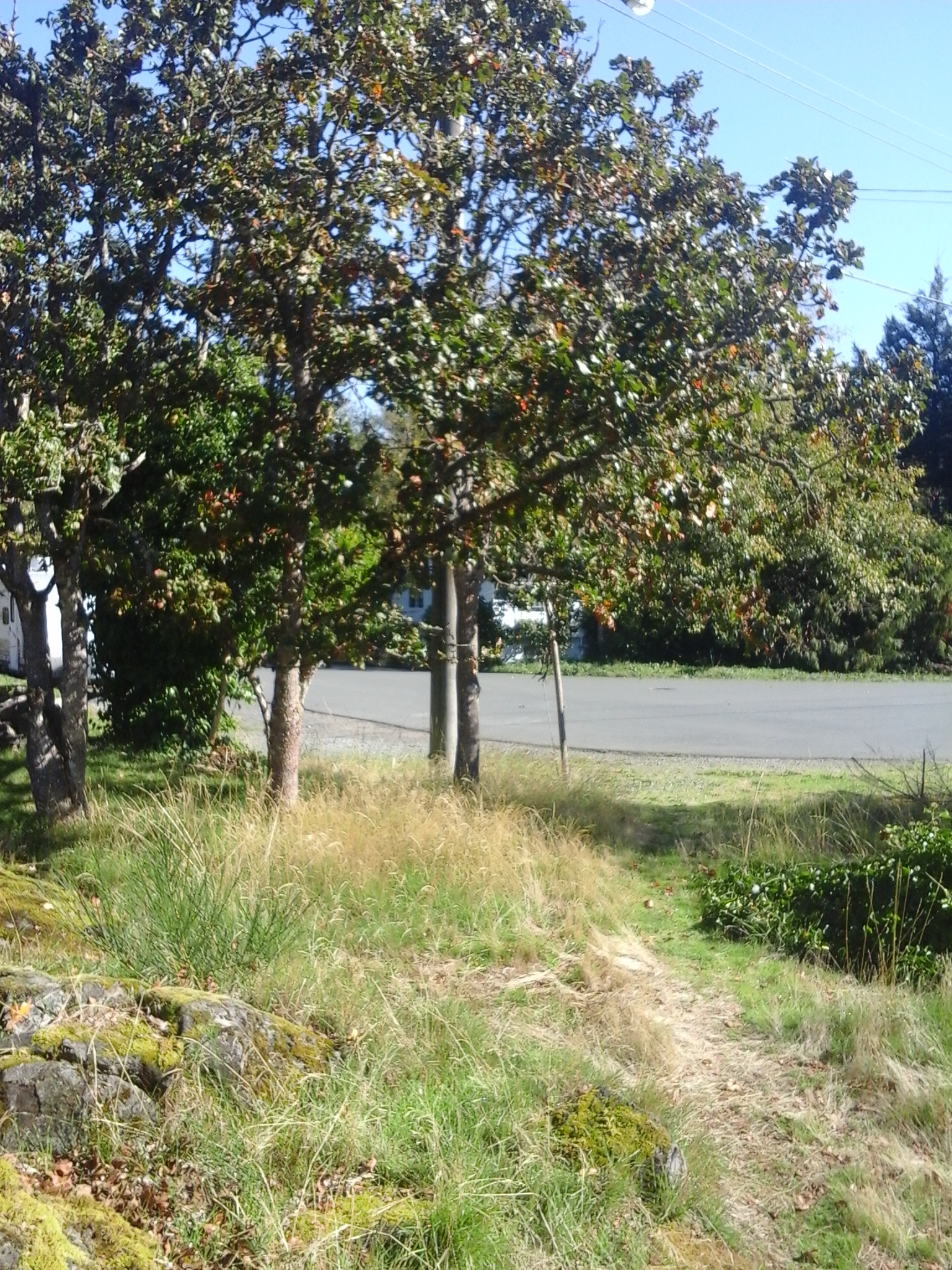
Mill Hill Regional Park can be accessed from the Trans Canada Highway, Hwy1, and is located at 490 Atkins Road. Exit from Hwy1 to reach the Island Highway and turn right onto Six Mile Road. Continue along Six Mile Road just after the Galloping Goose Trail overpass, turn left onto Atkins Road. The park entrance on the right is on the right and is along a curve of the road in this quiet urban neighborhood. A second road to the right provides access to the maintenance buildings that are within the chain-link fenced area of the park. A large paved parking area is near the park buildings while a much larger gravel area is within the fenced area. City buses travel along Atkins Road.

There are several documents on the ecosystems within Mill Hill Regional Park.

Highlands Road Green Space

Highland Road GS fernsThis green space is the road-right-of-way of a closed section of Highlands Road in View Royal, B. C. This eight hundred meter long roadway curves north from the junction with Barker Road. Many maps show Highland Road continuing another kilometer to Munn Road, although Highland Road Ranch has signs posted to discourage access. The closed gravel roadway passes beside large acreages with wire fencing protecting beautiful moss covered trees and rocks. There are several large Douglas fir trees as well as big leaf maples along the roadside. This is an easy walk with low hills to stride along and is a terrific place to walk in your backyard. This green space is beside the trailhead for the Panhandle Trail of Thetis Lake Park and close to Westoby Road Green Space.


Geographic location N48° W28’ 55” 123° 27’ 47”


Highlands Road Green Space can be reached from the Trans Canada Highway or Hwy 1. Turn off at Exit 10 to reach Burnside Road West. Stay right as the road branches toward the junction with Watkiss Way. Turn left onto Watkiss Way and then right onto Highland Road. Follow Highland Road as it narrows when it enters Thetis Lake Regional Park. The road has several curves around the trees and rocks to reach Barker Road. The Thetis Lake Regional Park -Panhandle Trail trailhead is near the junction of Barker Road with Highland Road. There is limited parking along the roadways although there is a small parking area at the trailhead. City buses travel to the junction of Highland Road and Watkiss Way.

Thetis Lake-Mount Work Connector Green Space

This linear green space and rough trail connects the northernmost trails of Thetis Lake Park to Munn Road near Mount Work Park. Douglas-fir and western red cedar forests as well as lowland meadows make this trail an excellent hike. The moss covered logging stumps and rocks provide a lush green landscape year round. Wear appropriate foot wear for strolling along wetland areas as well as the rocky outcrops. This green space was acquired through a covenant agreement with the land owners so respect the private property signs.

This green space can be access from Munn Road. You can get here by exiting north off the TransCanada Highway north at the Millstream Road exit. Follow Millstream Road to the junction with Munn Road. Turn right off Millstream Road onto Munn Road and proceed with care on this very sinuous road to reach the parking lot for Mount Work. Park here and walk back along Munn Road, about 100 meters, westward to reach Deanna Place. The trail is narrow and rough. You can also access this connector trail from the many trails of the northern part of Thetis Lake Park in area near Stewart Mountain and Scafe Hill as well as from end of Davis Road, Taylor Road and the trails off Stewart Mountain Road. These roads connect with Millstream Road and have very limited roadside parking near the rather obscure trailheads.