Irwin Park

Irwin Park Irwin Park 3

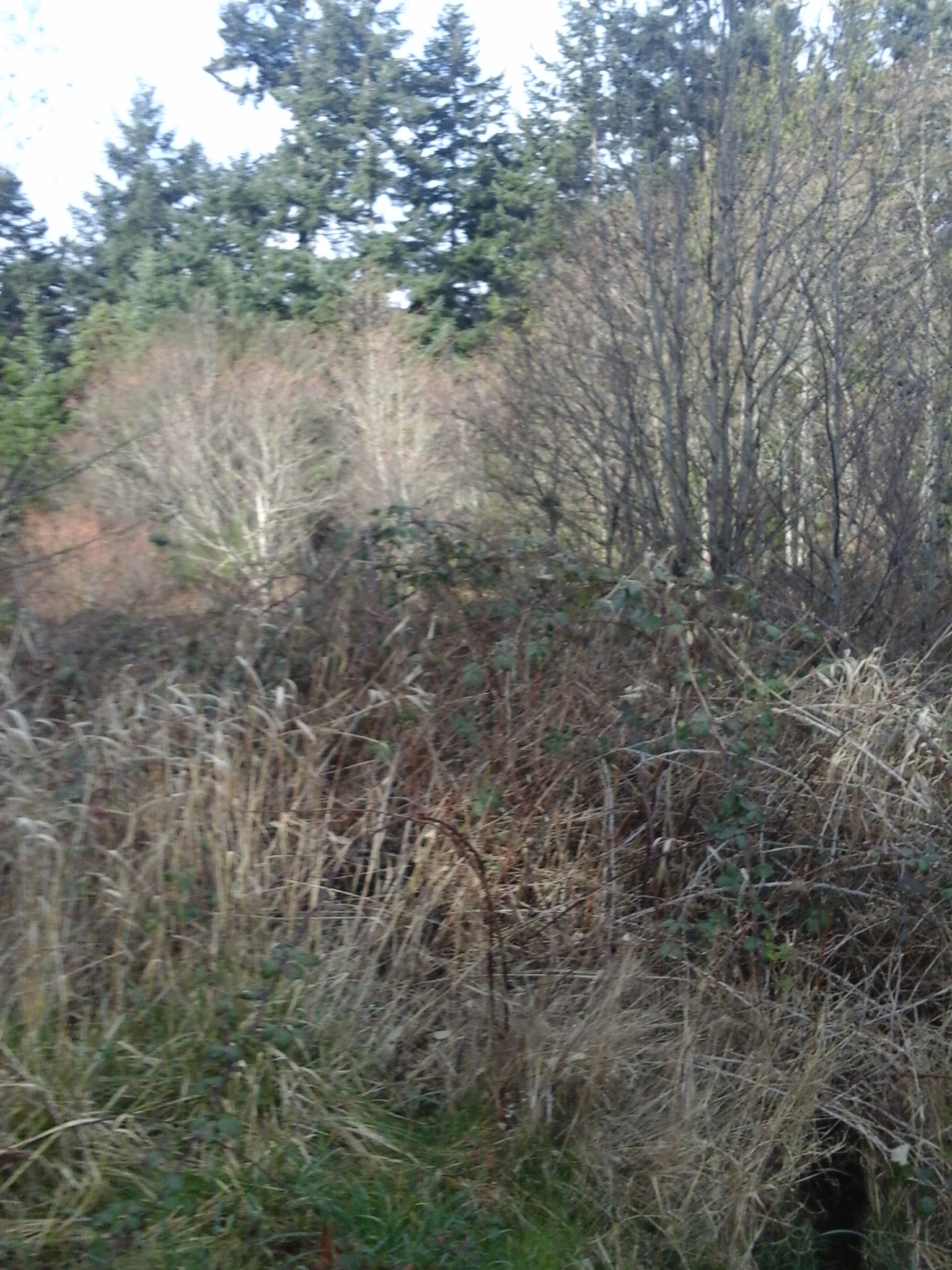
Irwin Park is in the Goldstream neighborhood of Langford, B.C. As part of a former campground, this park has wide trails and recovering clearings as well as a couple of ponds, formed with a couple of dams along Parkdale Creek. A gate house, originally from the campground, lies near the western entrance to the park. The building was restored, notably with fish motifs in the cedar shingles, by students and teachers from the Westshore Center for Learning and Training. Parkdale Creek is part of the Colwood Creek watershed which flows into Esquimalt Lagoon via Glen Lake and Colwood Lake. Humpback Reservoir with a thirty one meter high concrete dam, built and filled in nineteen fifteen, are also part of the original waterway. (This reservoir was filled using the pipeline from Sooke Lake until nineteen seventy and is protected from public usage by the CRD water supply area storage lake.) The creek formed a gully which now has an ephemeral water flow due to the small ponds. These ponds are not for swimming as they are part of a reservoir system with has pump stations and were built, in nineteen seventy one, for the obsolete Humpback Valley Campground. Of the original forty six hectare campground with one hundred and twenty two sites, Irwin Park is about five and half hectares in size. The trail in Irwin Park connects to the West Shore Parkway, near the rugby, football and high school sport fields, over a distance of about a kilometer. The trail varies from concrete slabs to dirt to gravel to asphalt with various degrees of moss growth on the terrain. There is pedestrian bridge across the lower dam while the bridge over the upper dam is closed. Several benches were once strategically placed along the walk way and now provide views of the cedar and Douglas fir trees as well as the ponds. A couple of picnic tables are found near the eastern bridge in a small clearing. This park is frequented by dog walkers, hikers and walkers. It is along the proposed route, for cyclists, as part of the connector trail from the Galloping Goose Trail to the Humpback Connector of the Trans Canada Trail. Mount Wells Park, Goldstream Regional, Harlequin, Cressida and Langford Lake parks are nearby. This is a beautiful place to explore in your backyard.

Geographic location N48° 26’38” W123°32’41”

Irwin Park can be reached from the Trans Canada Highway also called Hwy1. Turn at the West Shore Parkway and make a right onto Amy Road to pass the gas station. Continue along Amy Road which merges with Sooke Lake Road. Turn left onto Humpback Road and continue along to turn left onto Irwin Road. The trailhead is just past the junction with Creekside Terrace which leads to the Raven Estate neighborhood and Lakewood Place. Another access point into the park is from the end of Lakewood Place between homes 2986 and 2987. There is limited roadside parking both areas. The third access point is Parkland Park and across the Parkdale Creek Bridge to reach the trail that parallels the creek into the park. This forested area has been significantly altered due to clear cutting and land clear for roadways and houses.

Hansen Park

This post is updated here.

Hansen Park

Goldstream River Provincial Park

This post is updated here.

Goldstream River Provincial Park

Wilfert Park

wilfert road access 3

Wilfert Park is nature area along the south side of Mill Stream in View Royal, B.C. It is about one third of a hectare. This park is partially forested and decommissioned agricultural area along the south side of the ravine along Mill Stream. This park form part of the riparian area along Mill Stream. Mill Stream, or Millstream Creek as it is often called, is the main waterway in a watershed that starts in the Gowlland Tod range of the Highlands and includes seven lakes and numerous ponds. A visit to Wilfert Park allows you to enjoy cedar trees and sword ferns along the floodplainof the ravine. The wetlands near the stream have skunk cabbage and other wetland plants. There are no formal trails in this nature park. Kelvin Grove Park and the Duffus Trail are across Mill Stream. Mellor Park and Lilm Kiln Park are nearby. Mill Stream Park, in Langford, is west.

Geographical location N48° 26’ 57” W123° 28’ 2”

Wilfert Park can be accessed from the Trans Canada Highway, Hwy1. Exit onto the Island Highway and stay to the left to merge with traffic going under the freeway and railway overpasses. Continue across Parson’s Bridge and take the next right onto Wilfert Road. This is not a through road but it can also be access from the west side near Nob Hill Road and Mill Stream Park in Colwood. Continue to along Wilfert Road as it curves behind the casino. There is limited parking along Wilfert Road. Wilfert Park is reached by strolling about two hundred and fifty meters along the service road from end of Wilfert Road. City buses travel along the Island Highway.

Mill Hill Regional Park

Mill Hill Thetis Lake Calypso Trail 5 Mill Hill Thetis Lake Calypso Trail 20

Mill Hill stands two hundred and two meters above sea level and lies within the parkland called Mill Hill Regional Park in View Royal, B.C. As a regional park since nineteen eighty, this park is kept by the Capital Regional District which has a large fenced yard with several maintenance buildings within the parkland. The main parking area and trails are in Langford, B.C., where the partially paved trail (an old fire road), called Auburn Trail, leads to the top of the hill. There are toilets and picnic tables near this parking area. The Auburn Trail skirts the south and western slopes. The east side of the park is within View Royal and is bordered by Edwards Park and several private properties. This northeastern slope of Mill Hill is accessed using Calypso Trail. The Calypso Trail, about two kilometer trail long, is a rough pathway along Hwy1 and becomes a woodland trail as it climbs to the summit to connect with Auburn Trail. Douglas fir, arbutus, western red cedar and garry oak trees are seen along the trail. Near the summit are several shallow wetlands, moss covered rocks and small meadow areas where big-leaf maple, red alder are seen. Salal, Oregon grape and other small shrubs are seen in the park. Near the junction of the two trails are the concrete foundation blocks of the nineteen fifty eight fire lookout tower. A rock cairn with brass direction location lines on its surface lies near the concrete blocks. Calypso Trail then continues to the parking lot down a steep section on the eastern side of the hill. The park has several ecosystems along its slopes although most have been modified over the past hundred years to meet the needs of the area. Along the lower northeastern section of the Calypso Trail, beside Hwy1, pick some Himalayan blackberries in the late summer. A stroll along the forested section of this trail, in the springtime, reveals the small wildflowers like camas, white fawn lilies and fairyslippers (Calypso bulbosa), the namesake of this trail. A visit to this seventy-one hectare parkland is worthwhile and easily explored as a walk in your backyard.

Geographical location N48° 27’ 10” W123° 28’ 55” parking lot

Mill Hill Regional Park can be accessed from the Trans Canada Highway, Hwy1, and is located at 490 Atkins Road. Exit from Hwy1 to reach the Island Highway and turn right onto Six Mile Road. Continue along Six Mile Road just after the Galloping Goose Trail overpass, turn left onto Atkins Road. The park entrance on the right is on the right and is along a curve of the road in this quiet urban neighborhood. A second road to the right provides access to the maintenance buildings that are within the chain-link fenced area of the park. A large paved parking area is near the park buildings while a much larger gravel area is within the fenced area. City buses travel along Atkins Road.

There are several documents on the ecosystems within Mill Hill Regional Park.

Portage Park

Portage Park Richards Island Thetis Cove

Enjoy a stroll through an urban Douglas fir and Garry oak forest to see the inspiring views of Richards Island, Fisgard Lighthouse and the distant Olympic Mountains in Washington State in Portage Regional Park, View Royal, B.C. This park lies along the north shore of Esquimalt Harbour and is along the portage route between the harbour and the Gorge Waterway. The portage route encompasses several roadways although the distance is about six hundred meters from shore to shore. This six point two hectare community park is bordered by residential homes and businesses on its east and west sides while the northern perimeter is formed by the Island Highway. Thetis Cove beach and Esquimalt Harbour are on the south side.


The CRD Rail Trail lies beside the VIA rail tracks and divides the park into an eastern and western portion. The western side of park is larger and has the majority of the trails as well as the playground and beach. The pedestrian pathways form about two kilometers of trails through the Douglas fir, Garry oak and woodland shrub forest. Enjoy the thimbleberry, blackberry and snowberry bushes as well as salal, ferns and mosses. Many bird species use this parkland as well including great blue heron, turkey vultures, common ravens, northwest crows and northern flickers. This makes it a popular place for local birders as well as dog walkers, hikers and those who enjoy a stroll in the urban forest. Richards Island is part of the parkland and is accessible by private vessels, like kayak, paddleboards or canoes. There are shallow rocky reefs around this island that has small Garry oak and Douglas fir trees. Thetis Cove has an average depth of about a meter with the deepest water along the western side of the cove near Dyke Point.


The partial paved and gravel trail to the beach starts near the town hall building and is about one hundred and seventy meters. The washrooms are also near here. There is a flight of about twelve steps down to the dirt and wood chip trail which branches south to the Thetis Cove beach and east toward the Rail Trail. The beach trail crosses over an ephemeral stream during its one hundred meter length. Thetis Cove beach is a mud flat beach area and is best accessed at higher tides. The eastern woodland trail also has some with steep stairs that makes wheelchair access difficult although the Rail Trail can be used with relative ease. A fire hydrant in the forest marks the junction of the trail which branches to the beach and to the Island Highway. There are benches and picnic tables in several locations in the parkland.   A shell midden was revealed by a seasonal storm several years ago. A sign marks this location where the organic debris may depict over five thousand years of periodic usage by humans. Thetis Cove beach, at low tide, is a mud flat with a few small areas of fine sand. A secondary access directly to the mud beach is from Thetis Cove Green Space using a steep fifty meter long trail. This green space is found along View Royal Road between homes 101 and 95.


Geographical location N48° 27’ 06” W123° 26’ 1”


Portage Regional Park can be reached from the Trans Canada Highway also called Hwy 1. Turn south onto Admirals Road at the McKenzie Avenue-Admirals Road junction. Continue along Admirals Road across the bridge over the Gorge Waterway. Turn right onto the Island Highway and pass under the railway bridge and take the next left onto View Royal Avenue. The Four-Mile Pub and Restaurant is located at this intersection. The main entrance and parking area for this park is on the west near the View Royal Town Office on View Royal Avenue. Additional routes in the park are from along the Island Highway and from the CRD Rail Trail. The eastern side is accessible from Glentana Street near Ethos Place, Falstaff Place, Aldersmith Place and Hallowell Road. City buses travel along the Island Highway and View Royal Avenue.


Several documents have been produced for the Town of View Royal about this park and provide a worthwhile read.

Maddison Green

Maddison Green 6 Maddison Green 4

Split cedar fencing borders part of the rectangular Maddison Green located in the quiet residential neighborhood of Fairfield in Victoria, BC. The green space is a re-planted Garry Oak meadow. There are several native flowers seen within the green which is bordered by deer ferns. Wilmer Green, Glenlyon Norfolk School Green Space and Pemberton Park are south along Maddison Street.

Geographic coordinates N48° 25′ 22” W123° 19′ 35″

Maddison Green can be reached from Blanchard Street. Turn east onto Fort Street and continue on Oak Bay Avenue. Turn left onto Chamberlain Road and at the intersection with Brighton Avenue continue onto Maddison Street. The park is on the corner junction with Lawndale Street. There is limited parking along these streets. City buses travel along Oak Bay Avenue and Foul Bay Road from downtown.

R.O. Bull Park

This three quarters of a hectare parkland has short trails through a wonderful grove of century-old Western red cedar  and Douglas-fir trees.  There are two gravel trails in this natural park which connects Wain Road to Dallain Place. The park is named after Roland Osborne Bull, a community and nature minded business man who founded the Victoria’s Boys Club. This park one of few areas that shows remnants of the forests of Saanich Peninsula prior to European settlement.

Geographic coordinates  N48° 40′ 37″ W123° 28′ 48″

You can get to R.O. Bull Park from Pat Bay Highway.  Before you reach ferry terminal follow the signs that lead to McDonald Park – Wain Road.  Stay to the right as you exit the highway and curve up to cross over the overpass. At the intersection turn left onto Wain Road.  Continue on Wain Road past West Saanich Road. The park is located part way down the hill after  Deep Cove Road. There is limited roadside parking.

Thetis Lake-Mount Work Connector Green Space

This linear green space and rough trail connects the northernmost trails of Thetis Lake Park to Munn Road near Mount Work Park. Douglas-fir and western red cedar forests as well as lowland meadows make this trail an excellent hike. The moss covered logging stumps and rocks provide a lush green landscape year round. Wear appropriate foot wear for strolling along wetland areas as well as the rocky outcrops. This green space was acquired through a covenant agreement with the land owners so respect the private property signs.

This green space can be access from Munn Road. You can get here by exiting north off the TransCanada Highway north at the Millstream Road exit. Follow Millstream Road to the junction with Munn Road. Turn right off Millstream Road onto Munn Road and proceed with care on this very sinuous road to reach the parking lot for Mount Work. Park here and walk back along Munn Road, about 100 meters, westward to reach Deanna Place. The trail is narrow and rough. You can also access this connector trail from the many trails of the northern part of Thetis Lake Park in area near Stewart Mountain and Scafe Hill as well as from end of Davis Road, Taylor Road and the trails off Stewart Mountain Road. These roads connect with Millstream Road and have very limited roadside parking near the rather obscure trailheads.