Ruby Court Park

Ruby Court Park 4

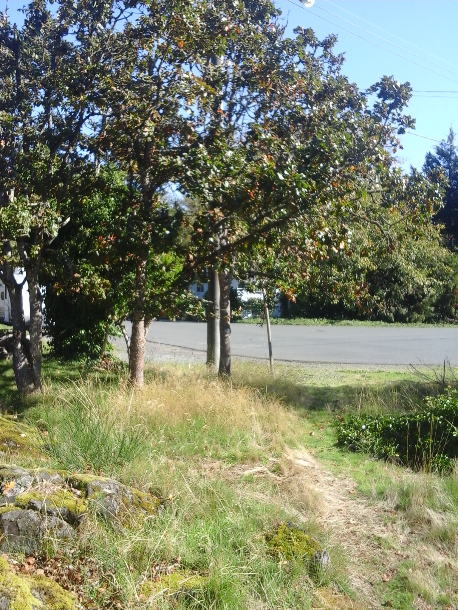
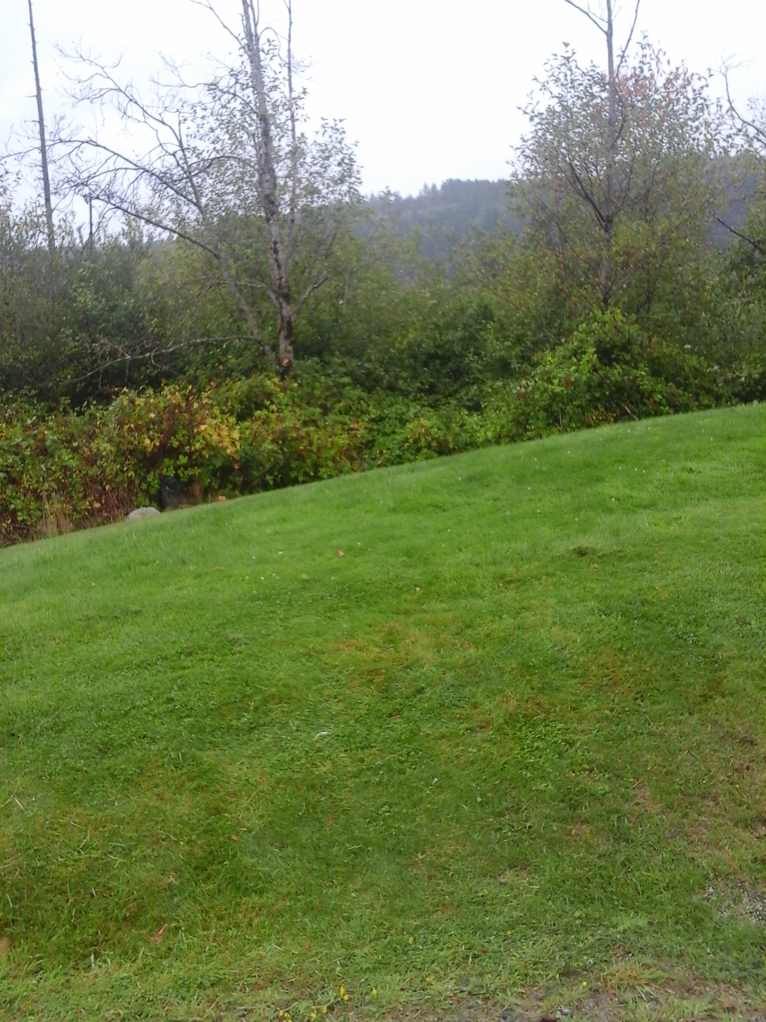
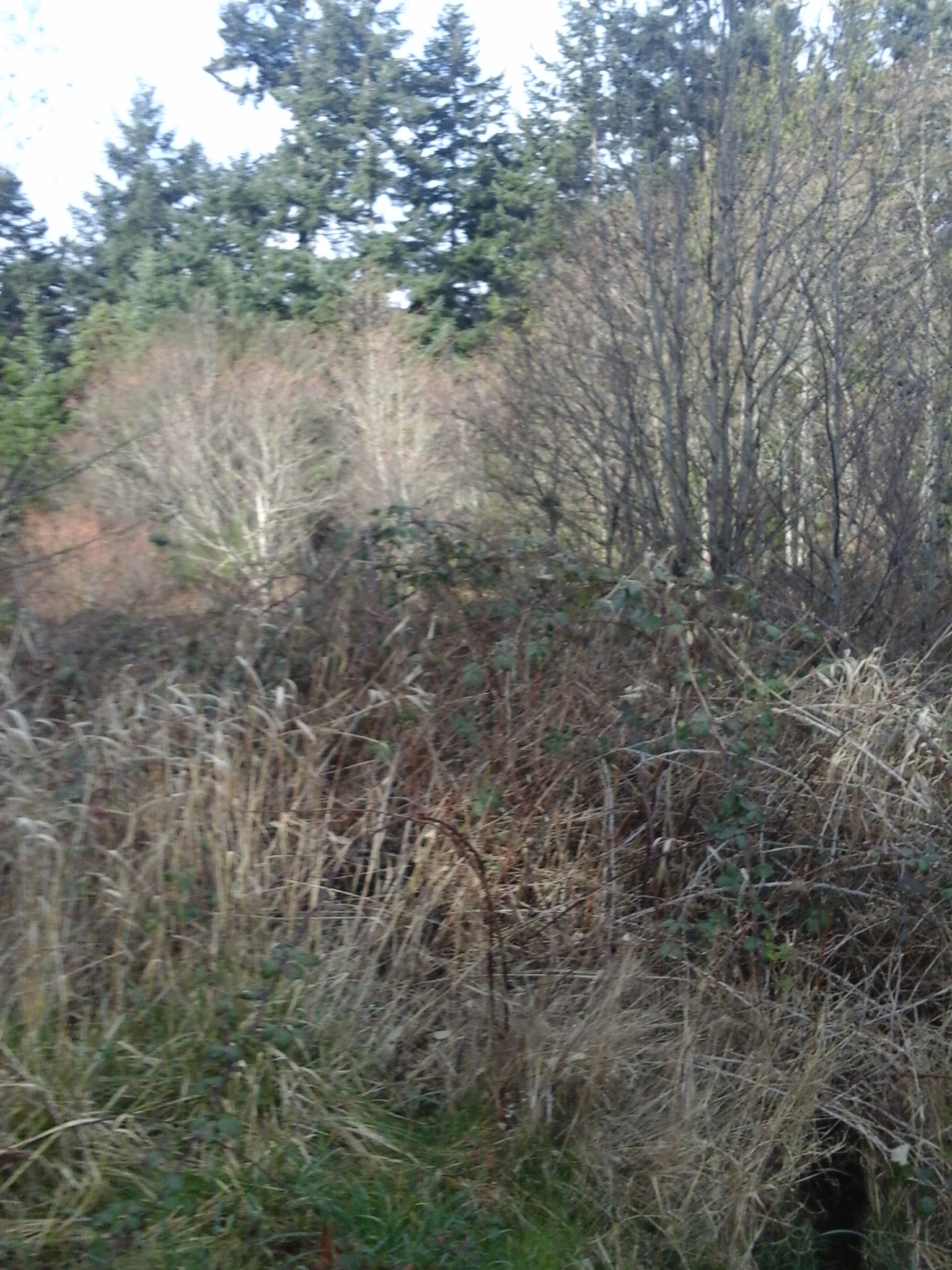
Ruby Court Park is in the Mill Hill neighborhood of Langford, B.C. The park borders along Mill Hill Regional Park and Crystalview Elementary School Green Space. There is a steep ravine, which is bordered by a black chain link fence, so there are no footpaths to connect the parks. A small grass covered area lies along the roadway although the park is mostly rocky outcrops with small shrubs and mosses. Crystalview Park, Edwards Park, Mill Hill Regional Park, Crystalview Elementary School Green Space, Nugget Park, Tanzanita Park and the Galloping Goose Trail are nearby.

Geographic location N48° 27’11” W123°28’33”

Ruby Court Park can be reached from the Trans Canada Highway also called Hwy1. Turn at Millstream Road and turn south onto Veterans Memorial Parkway. Turn left onto Hoffman Avenue then right onto Winster Road and left onto Atkin Road. Continue along Atkin Road to reach the four way stop and make a soft turn onto Silverstop Way. Head up the hill on Silverstone Way and continue past the school yard. Turn left onto Ruby Court and look for the park between houses 2624 and 2636. Crystalview Park is across the road.

Jeanine Place Green Space

Jeanine Place Green Space is a nature area in the Mill Hill neighborhood of Langford, B.C. This green space is a linear half an hectare area that protects the riparian zone of Mill Stream. There is limited access along its steep forested slopes. Cedarvale Park is immediately upstream and has several picnic tables along the footpath through it. Jeanine Park and Selwyn Cedarvale Green Space are nearby.

Geographic location N48° 27’26” W123° 29’ 12”

Jeanine Place Green Space can be reached from the Trans Canada Highway also called Hwy1. Turn at Veteran Memorial Parkway/Millstream Road and turn south. Take the first left onto Strandlund Avenue and continue to the left to stay on Strandlund Avenue. Follow the roadway then turn right onto Selwyn Road. Take the first left onto Mill Hill Road and then another left after crossing over the small bridge over Mill Stream. The green space extends along the right side of Jeanine Place where there is roadside parking.

Toth Park

Toth Park

Toth Park is in the Mill Hill neighborhood of Langford, B.C. This nature park has a rocky Garry oak meadow with a moss and lichen covered footpath under the branches of the small oak trees. This one tenth of a hectare park is surrounded by the fences of neighborhood homes in this quiet area. Cedarvale Park is nearby and makes for a nice walk along Strandlund Avenue then onto the trails in Selwyn Cedarvale Green Space.

Geographic location N48° 27’19” W123° 29’ 25”

Toth Park can be reached from the Trans Canada Highway also called Hwy1. Turn at Veteran Memorial Parkway/Millstream Road and turn south to head toward downtown Langford. Take the first left onto Strandlund Avenue and continue to the left to stay on Strandlund Avenue. At the junction with Duncan Place turn left. Take the next left onto Toth Place. Look for the footpath and parkland on the right at the sharp curve in the road There is limited roadside parking.

Turner’s Bog Park

Turners Bog 3

Turner’s Bog Park is in the Goldstream neighborhood of Langford, B.C. As shallow wetland area that drains toward Langford Lake to connect with Langford Creek, Turner’s Bog has several wetland shrubs, sedges and rushes along its shoreline. The wetlands were formed as a glacial depression called a kettle lake. Langford Creek is part of the Goldstream River watershed. There are few taller trees found near the wetlands too. This park borders on Amy Pond Park which lies to the north and is surrounded by a warehouse for Sysco, a food service distribution company, the West Shore Parkway and Kettle Lake Drive. Amy Pond Park, Lakehurst Park, Gold Stream Provincial Park, Mt Wells Regional Park, Harlequin Park, Goldstream Meadow West Shore Park, Goldstream Meadows Park, Langford Lake Park and several green spaces are nearby.

Geographic location N48° 27’17” W123°32’32”

Turner’s Bog Park can be reached from the Trans Canada Highway also called Hwy1. Turn at the Westshore Parkway and continue along the roadway past the traffic circle. The parkland is on the right just before Kettle Lake Drive. There is limited roadside parking this area. There is a geocashe near this park.

Savory Park

Florence Lake Stachen Trail 7

Savory Park is a nature park in the Florence Lake neighborhood of Langford, B.C. The half hectare parkland borders along the Springboard section of the Florence Lake Strachan Trail, a one and half kilometer long boardwalk and gravel footpath along the south and eastern shore. Savory Park slopes down to the lake from Savory Road and is covered with dense thickets of shoreline vegetation including cattails, alder, willows and ocean spray. Wetlands of Florence Lake form much of the nature area of the park. This park is close to the Trans Canada Highway Pedestrian pathway, a concrete pathway along the roadway that leads southward over the TCH toward Langford Lake.

Geographic location N48° 28’5” W123°30’41”

Savory Park can be reached from the Trans Canada Highway also called Hwy1. Turn at Savory Road/Brock Road Exit and follow the road to curve westward onto McCallum Road. Turn right onto Savory Road and look for the trail marker for the Florence Lake Strachan Trail. This park is to the left of the trail. There is limited roadside parking this area.

Strachan Park

Strachan Park is a nature park in the Florence Lake neighborhood of Langford, B.C. At just over half a hectare, the steep terrain that surrounds the small wetland in this park has helped to maintain its natural integrity. Florence Lake Pier and Viewing Dock, Florence Lake Park North, Florence Lake Strachan Trail Shaw Green Space and Shaw Park are nearby.

Geographic location N48° 27’37” W123°30’36”

Strachan Park can be reached from the Trans Canada Highway also called Hwy1. Turn at Savory Road/Brock Road Exit and follow the road to curve eastward around Florence Lake. Turn right onto Setchfield Avenue then right onto a roadway called Martin Ridge. The park is on the right. There is limited roadside parking this area.

Ironwood Park

Ironwood Park is in the Florence Lake neighborhood of Langford, B.C. This nature park is along the steep eastern slopes of the lower ridge that forms Skirt Mountain. Its eastern side borders along Shaw Park. The rest of the park is surrounded by residential homes which limits access to this nature area. There are a few Douglas fir and cedar trees that provide shade for the grasses and shrubs.

Geographic location N48° 27’51” W123°30’41”

Ironwood Park can be reached from the Trans Canada Highway also called Hwy1. Turn at Millstream Road and turn left at the log house pub onto Treanor Avenue. Continue along Treanor to reach Setchfield Avenue. Turn right onto Setchfield Avenue then take the first left onto Shaw Avenue. Take the next right onto Arngask Avenue and continue to Echo Valley Drive. Turn left to reach Limestone Lane. Turn onto Limestone Lane to reach the western end of Gade Road. Turn left onto Gade Road then take a right onto Ironwood Court. The park can be seen from the ridge and metal barrier along Ironwood Court between 975 and 976. There is limited roadside parking this quiet residential area. Alternatively a small section of the park touches Gade Road between homes 934 and 924 which are near the barrier for this road or access through Shaw Park. There is limited parking near this park.

Bellamy Park TCH

Bellamy Park TCH 2

Bellamy Park TCH is near the Trans Canada Highway at the south end of Bellamy Road. This nature area is along steep slopes of the ravine for Mill Stream. Mill Stream, or Millstream Creek as it is often called, is the main waterway in a watershed that starts in the Gowlland Tod range of the Highlands and includes seven lakes and numerous ponds. There are about five kilometers of Mill Stream within the Langford City boundary most of which has a riparian buffer to protect the water quality of the stream. Mill Stream flows in to Esquimalt Harbour near Price Bay. As a second growth forest area there are Douglas fir, big leaf maple and cedar trees in the park. Tacon, Sunkist, Hansen, Gourman Parks are nearby. Avery Place Trail and Nicki Place Trail to Thetis Lake Park are also nearby. Selwyn Trail lies on the opposite bank of Mill Stream.

Geographic location N48° 27’39” W123°29’27”

Bellamy Park TCH can be reached from the Trans Canada Highway also called Hwy1. Turn at Millstream Road and continue to the log house pub and turn right onto Treanor Avenue and turn left on to Bellamy Road. Continue to the end of the road. There is limited parking near the park. City buses travel along Bellamy Road and Treanor Road.

Wilfert Park

wilfert road access 3

Wilfert Park is nature area along the south side of Mill Stream in View Royal, B.C. It is about one third of a hectare. This park is partially forested and decommissioned agricultural area along the south side of the ravine along Mill Stream. This park form part of the riparian area along Mill Stream. Mill Stream, or Millstream Creek as it is often called, is the main waterway in a watershed that starts in the Gowlland Tod range of the Highlands and includes seven lakes and numerous ponds. A visit to Wilfert Park allows you to enjoy cedar trees and sword ferns along the floodplainof the ravine. The wetlands near the stream have skunk cabbage and other wetland plants. There are no formal trails in this nature park. Kelvin Grove Park and the Duffus Trail are across Mill Stream. Mellor Park and Lilm Kiln Park are nearby. Mill Stream Park, in Langford, is west.

Geographical location N48° 26’ 57” W123° 28’ 2”

Wilfert Park can be accessed from the Trans Canada Highway, Hwy1. Exit onto the Island Highway and stay to the left to merge with traffic going under the freeway and railway overpasses. Continue across Parson’s Bridge and take the next right onto Wilfert Road. This is not a through road but it can also be access from the west side near Nob Hill Road and Mill Stream Park in Colwood. Continue to along Wilfert Road as it curves behind the casino. There is limited parking along Wilfert Road. Wilfert Park is reached by strolling about two hundred and fifty meters along the service road from end of Wilfert Road. City buses travel along the Island Highway.