Carnarvon Park

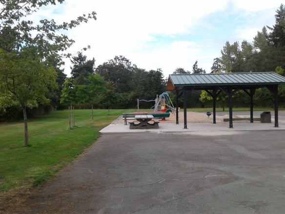
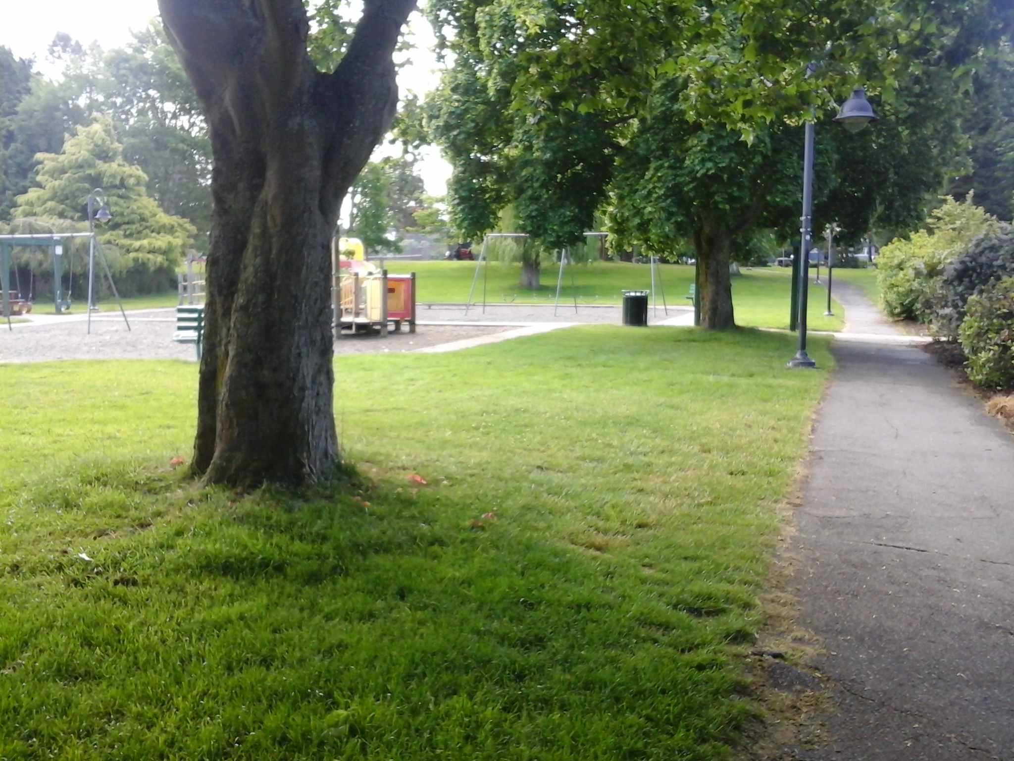
Carnarvon Park is in the seaside community of Oak Bay which is part of the Capital Regional District of British Columbia. This park is a small multifaceted jewel in Oak Bay. In the late eighteen hundreds, this area was developed as the Willows horse racing track, presently, the park hosts two baseball diamonds, tennis courts, fenced hockey rink, water park, and other play areas. It is the perfect place for a family outing.  Oak Bay Lawn Bowling Club and facilities are based here. There is a seasonal concession and washroom facilities. The Peter Pan Outdoor Water Park and Playground operates seasonally. A daycare operates out of the main buildings.

Geographical Location N48° 26′ 22″     W123° 19′ 02″

You can get to Carnarvon Park from Foul Bay Road.  Turn east onto Allenby, Townley, or Carnarvon Street.  There is limited off street parking.  Look for trails to Carnarvon Park between Henderson and Newton Streets.  A trail leads to Carrick Boulevard that provides quick access to the Foul Bay Road and Cadboro Bay Road junction. A couple of city buses travel by this park.

Henderson Park

Henderson Park play

Henderson Park in the seaside district of the Capital Regional District called Oak Bay. The park is located next to the Henderson Recreation Center and Golf Course. The jogging and walking trail winds through and around the golf course.  Runners from the UVic frequent the woodchip trail.  As you walk along  take time to enjoy the forest, the Henderson Gyro Park playground, and the golfers.  Henderson Park has a baseball diamond and several tennis courts.  Toilet facilities are available in the Recreation Center. The woodchip jogging trail has outdoor exercise equipment set along its perimeter. The forest that surrounds the trails and golf course is composed of mostly Garry oak and Douglas fir trees. Snowberry, ocean spray and blackberry bushes make up part of the underground and form the perimeter of the lawns. University of Victoria walking trails are nearby as is Upland School Green Space. This park shares its east border with the Uplands Golf Course.


Geographical Location N48° 27′ 19″ W123° 18″ 44″

You can get to Henderson Park from Cedar Hill Cross Road.  Turn into the parking lot for recreation center.  Parking is also available along the road.  You can access the playground from Arden Street (off of Henderson) where there is limited parking.  The walk takes about 30 minutes. Several buses provide service near Henderson Park.

Ed Fisher Memorial Park

Ed Fisher Memorial Park is in the Happy Valley neighborhood of Langford, B.C. This one hectare park has a playground, chain-link fenced baseball diamond, an equipment building and walking pathways. The ball field is used seasonal by the Juan de Fuca Soccer Association for soccer games. The playground is separated from the ball field by the parking area. Its play equipment includes a pair of swings of which one is baby seat. A low wooden climbing platform has stairs, monkey bars and a pair of slides that lead to the wood chip base. A rocking toy completes the play area. There are picnic tables, benches and bleachers also found at the park which are shaded in the morning by the tall Douglas fir trees near Isabell Green Space. A few more tall trees are seen along the southern border of the parkland. Ed Fisher Memorial Park is surrounded by private homes in a quiet neighborhood. This park was named after the son the early pioneering family from England who homesteaded and taught in Happy Valley during the eighteen hundred and seventies. Weaver Park, Ernhill Park, Isabell Green Space, Sedgwick Park, Happy Valley Elementary School Green Space, Luxton Park, Fisher’s Pond Park and Glen Lake Park are nearby.

Geographic location N48° 25’49”  W123°31’25”


Ed Fisher Memorial Park can be reached from the Trans Canada Highway also called Hwy1. Turn at Millstream exit and continue along south to reach the Veterans Memorial Parkway. Turn onto Sooke Road and continue along to reach Happy  Valley Road. Turn left onto Happy Valley Road then left onto Isabell Avenue. This road is intersected by the parking area for the park.  There is limited roadside parking this area. City buses travel along Sooke Road and Happy Valley Road.

All Fun Recreation Park Green Space

This post is updated here.

Shoreline Middle School Green Space

Shoreline Middle School play area

The school is part of the Victoria School District number sixty-one and as such the school grounds are used for students during school hours. The area is landscaped with a few arbutus and Garry oak trees as well as a large grass covered field. This is the sports field that is used for soccer, baseball and rugby as well as track and field. There is a trail along the ridge of grounds that parallels the sidewalk along the Island Highway. The road forms the south border of this green space. An excellent playground is along the ridge near the fenced basketball court. The playground is on a wood chip based and a linear setup that is great for climbing and balancing. The view of Portage Inlet from the playground makes this a favorite place. The green space is near the portage route or the shortest walking access to Esquimalt Harbour via Portage Park. This portage route was used haul boats and supplies from the Inlet to the Harbour. Craigflower House and Shoreline Drive Green Space are close by. Portage Park and the E&N Rail Trail are to the west.

White Pine Road Green Space

White Pine Road Green Space 2

White Pine Road Green Space is a pedestrian pathway from White Pine Road to Helmcken Centennial Park in View Royal, B.C. This thirty meter long concrete pathway is between homes 156 and 160 and is bordered closely by a chain-link fence. This pathway provides access to the playground and three fenced ball diamonds as well as to a good site to observe migratory birds such as gadwalls, widgeons, wood ducks, geese, loons, plovers, terns and grebes. Thomas Park Drive, Seabird Park, Midwood Place Green Space Polly Place Green Space, Tidewater Road Green Space, Helmcken Centennial Park, Stillwater Road Green Space and St. Giles Park are nearby.


Geographical location N48° 27’ 37” W123° 25’ 54”


White Pine Road Green Space can be reached from the Trans Canada Highway Hwy1. Exit off Hwy1 onto the Helmcken Road and turn south. At the traffic circle, continue along Helmcken Road to Werra Road. Turn left onto Werra Road and follow the road as it curves and dips along the residential homes. Look for White Pine Road to the left. There is limited roadside parking along Werra Road near White Pine Road while White Pine Road has several signs that warn of removal of improperly parked vehicles. City busses travel along Helmcken Road.

Beacon Hill Park

This post is updated here.

Beacon Hill Park

Brooke Street Park

Brooke Street Park

A series of birch trees frame the sports fields of Brooke Street Park on the Brooke Street border. This grass covered parkland is four fifths of a hectare in size and lies in the Fairfield neighborhood of Victoria, B.C. There is a backstop for baseball near the intersection of Brooke Street and Kipling Street as well as one kitty corner in the park, off of Clifford Street. London plane and alder trees frame the park along Clifford Street. The fields are used baseball, rugby and soccer. Porter Park, Sir James Douglas School Green Space, Fairfield Hill Park and Ross Bay are nearby. A one and half story heritage home styled as a Craftsman Bungalow was built in nineteen fourteen. It resides at 1440 Clifford Street which is next to this parkland. Robert J Porter Park with two playgrounds and a natural play area lies across Kipling Street.

Geographic coordinates N48° 24′ 50” W123° 20′ 35″

Brooke Street Park can be reached from Blanchard Street. Turn east onto Fairfield Road and follow along until Kipling Street. Turn left onto Kipling Street and continue about a block. The park is bordered by Kipling, Brooke, Clifford and Thurlow streets. There is limited roadside parking in this quiet residential neighborhood. City buses travel along Fairfield Road from downtown Victoria.

Hollywood Park

Holly wood Park from Earle Hollywood park 4

Hollywood Park is beautifully landscaped Garry oak (Quercus garryana) treed parkland covering two and a third hectares in the Fairfield community of Victoria, BC. Stroll along the perimeter of park to take in the flower beds and trees, like the golden plumed cedar ‘Aurea’ (Cedrus deodara), rhododendrons and azaleas. In a few sections of the park the flower beds are bordered by a split cedar fence and a narrow pathway. Stroll along the paved pathway to reach the playground, ball diamond or tennis courts. This one hundred and sixty meter walkway connects Earle Street with Fairfield Road; neither end is gated. Close to the Earle Street border of the park is the playground with a sand base. There are slides for young and old children that are part of a climbing structure with platforms that have monkey bars and ladders. There are two swing sets with a couple for toddler seats in one set. The other has four swings. The playground is shaded early mornings and later afternoons by the tall Garry oak and London plane trees. The baseball diamond is home to the Beacon Hill Little League ball players and has bleachers, score board and seasonal concession. Fairfield shopping plaza is about a block west along Fairfield Road if other sustenance is needed. Part of the ball field forms the pitch for soccer. There is a second much smaller grassy area, with a chain-link fenced backstop across from the playground. Picnic tables and benches are found along the pathway and near the playground and sport fields. The toilets are near the tennis courts. The two tennis courts are fenced and lie close to Fairfield Road. The area of Hollywood Park is within the hidden East Creek drainage area and is occasionally quite wet.

Geographic coordinates N48° 24′ 51” W123° 20′ 8″

Hollywood Park can be reached from Blanchard Street. Turn east onto Fairfield Road and follow along to St Charles Street. Once past St Charles look for Hollywood Park to the left. The park lies along Fairfield Road and Earle Street where there is limited roadside parking. City buses travel along Fairfield Road from downtown.